The viewpoint atlas
See how far the world goes.
Every viewpoint with its real 360° panorama calculated from the relief: how far you see, the peaks you can name, where the sea is and where the sun sets, month by month.
Calculating the panorama…
Live panorama from Cabo Girão · Portugal
Places to look out
Choose your view.
Scenic viewpoints, observation decks and towers, Ferris wheels, cliffs, summits and canyon rims.
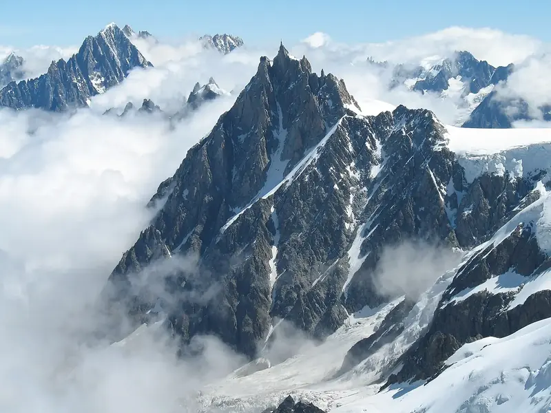 Scenic viewpointsMarked lookouts on roads and trails280 viewpoints
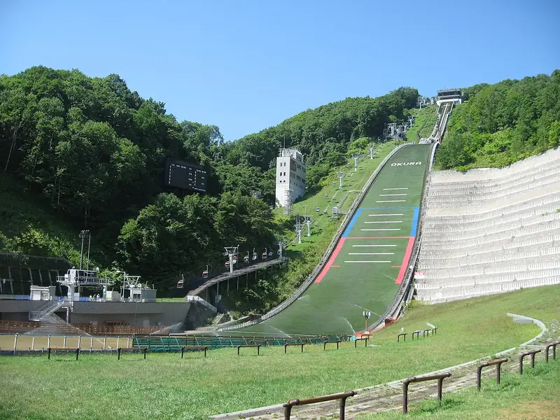 Observation decksPlatforms and skywalks over the void31 viewpoints
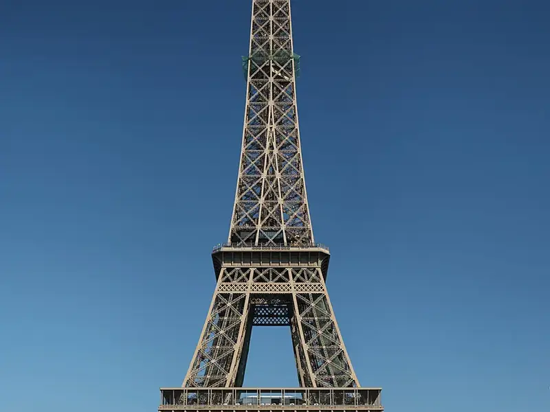 Observation towersLookout and fire towers above the trees252 viewpoints
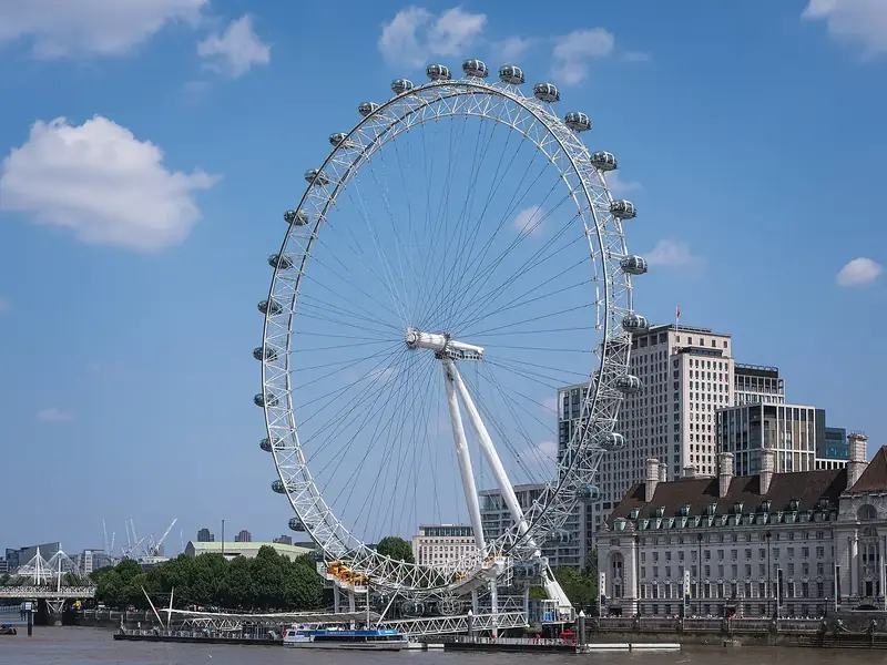 Ferris wheelsThe city from a slowly turning cabin49 viewpoints
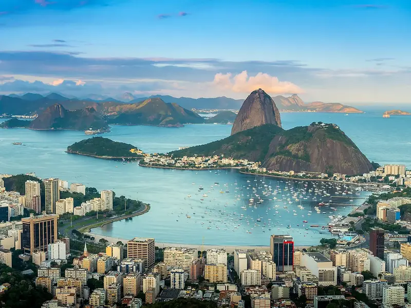 CliffsThe edge of the land, over the sea or a valley143 viewpoints
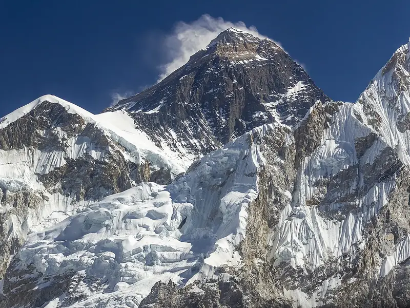 SummitsFamous summits with the whole circle around560 viewpoints
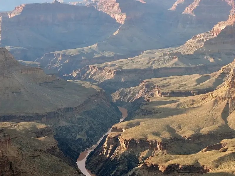 Canyon rimsLooking down into the deepest cuts84 viewpoints
Or choose by what you see
Calculated from the relief for every guide: an open west for the sunset, the sea, a full circle, very long views, a crowd of peaks.
 Sunset viewpointsAn open west: the sun goes down on the horizon767 viewpoints
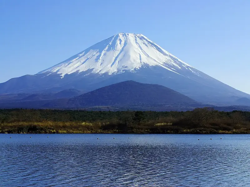 Sea viewsAt least a tenth of the horizon is sea400 viewpoints
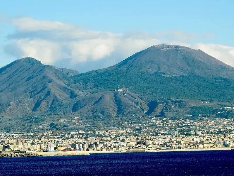 360° viewsThe horizon below your eyes all the way round1,216 viewpoints
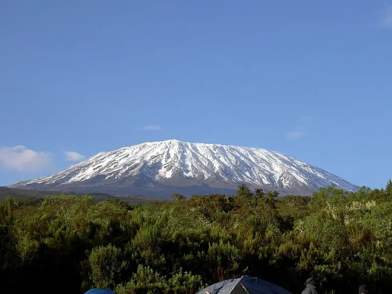 Long viewsRidges 100 km away and more831 viewpoints
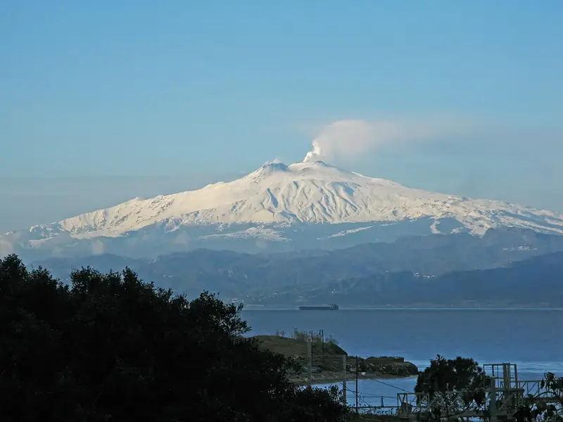 Peak panoramasTen named peaks or more in view823 viewpoints
How far you see
The longest views.
The distance to the farthest ridge you can see from each viewpoint, calculated on the relief with the curvature of the Earth.
 Oman · summit249 km2Qurnat as Sawda'
 Lebanon · summit249 km3Colima
 Mexico · summit249 km4Gargano
 Italy · summit249 km5Lovćen
 Montenegro · summit249 km6Aconcagua
 Argentina · summit249 km7Volcán de Fuego
 Guatemala · volcano249 km8Jebel ShamsOman · summit249 km9Mount Ida
 Greece · summit249 km10Mulhacén
 Spain · summit249 km
This month
The clearest views in January
Viewpoints where this is one of the months with the fewest clouds: clearer air, sharper ridges, a better sunset.
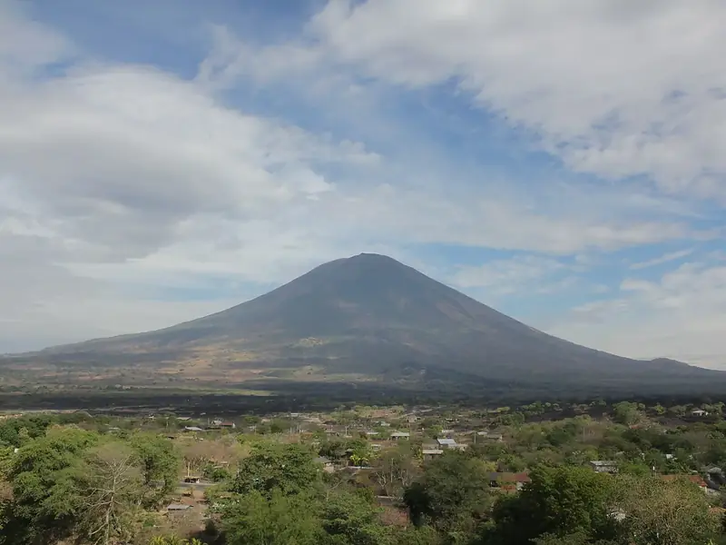 239km94summitSan Miguel
 El Salvador22 peaks in view · Clear month
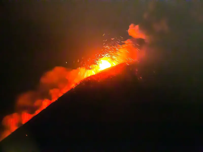 248km93volcanoVolcán Momotombo
 Nicaragua106 peaks in view · Clear month
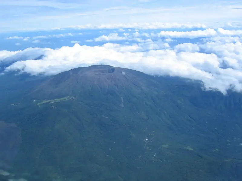 190km92volcanoSanta Ana VolcanoEl Salvador18 peaks in view · Clear month
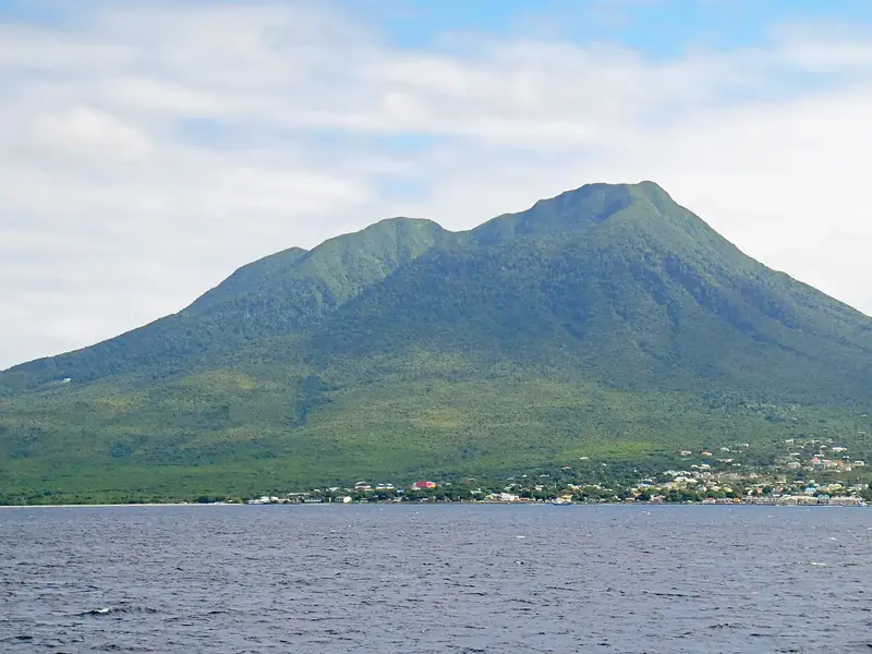 239km92summitNevis Peak
 Saint Kitts and Nevis53 peaks in view · Clear month
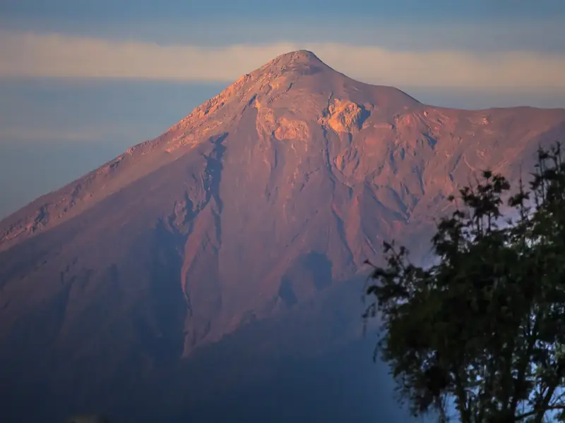 249km92volcanoVolcán de FuegoGuatemala14 peaks in view · Clear month
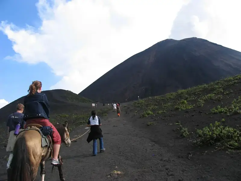 209km92volcanoPacayaGuatemala13 peaks in view · Clear month
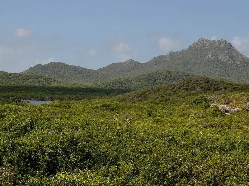 220km92summitChristoffelberg
 Curacao35 peaks in view · Clear month
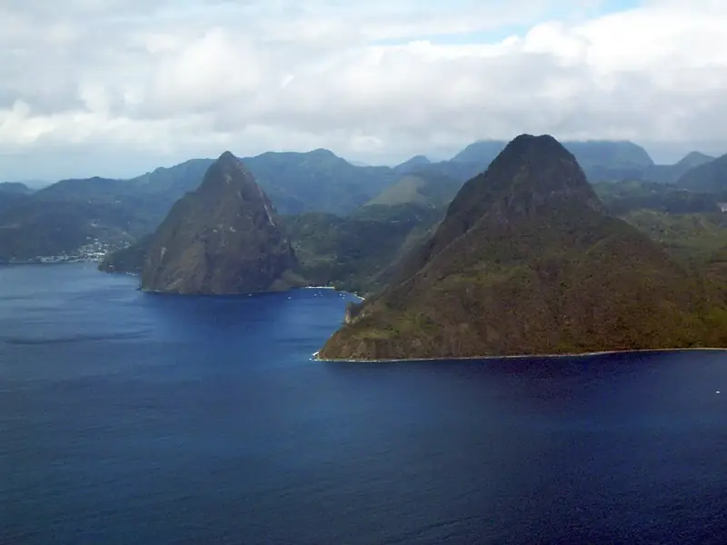 196km92summitPitons
 Saint Lucia15 peaks in view · Clear month
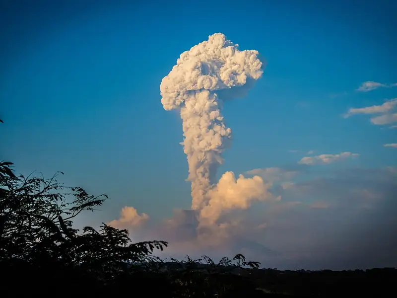 249km94summitColimaMexico13 peaks in view · Clear month239km94summitSan MiguelEl Salvador22 peaks in view · Clear month248km93volcanoVolcán MomotomboNicaragua106 peaks in view · Clear month190km92volcanoSanta Ana VolcanoEl Salvador18 peaks in view · Clear month239km92summitNevis PeakSaint Kitts and Nevis53 peaks in view · Clear month249km92volcanoVolcán de FuegoGuatemala14 peaks in view · Clear month209km92volcanoPacayaGuatemala13 peaks in view · Clear month220km92summitChristoffelbergCuracao35 peaks in view · Clear month249km94summitColimaMexico13 peaks in view · Clear month248km93volcanoVolcán MomotomboNicaragua106 peaks in view · Clear month
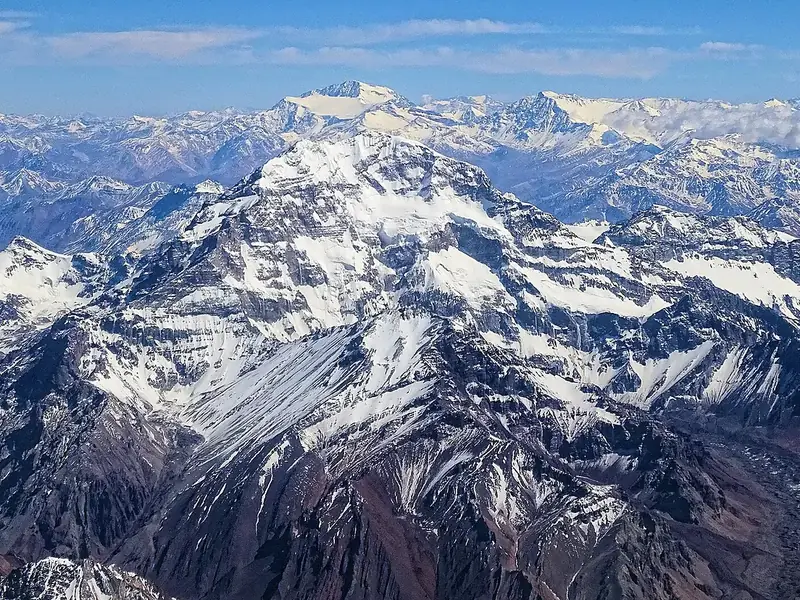 249km92summitAconcaguaArgentina17 peaks in view · Clear month190km92volcanoSanta Ana VolcanoEl Salvador18 peaks in view · Clear month239km92summitNevis PeakSaint Kitts and Nevis53 peaks in view · Clear month249km92volcanoVolcán de FuegoGuatemala14 peaks in view · Clear month209km92volcanoPacayaGuatemala13 peaks in view · Clear month196km92summitPitonsSaint Lucia15 peaks in view · Clear month249km94summitColimaMexico13 peaks in view · Clear month249km92summitAconcaguaArgentina17 peaks in view · Clear month
 183km90volcanoPinta Island
 Ecuador10 peaks in view · Clear month
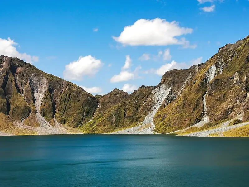 220km89summitPinatubo
 Philippines22 peaks in view · Clear month
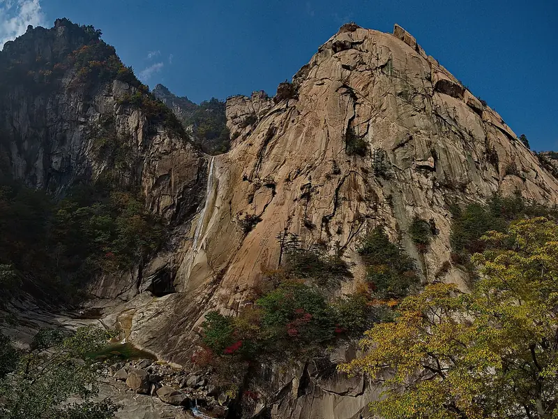 249km89summitMount Kumgang
 North Korea96 peaks in view · Clear month
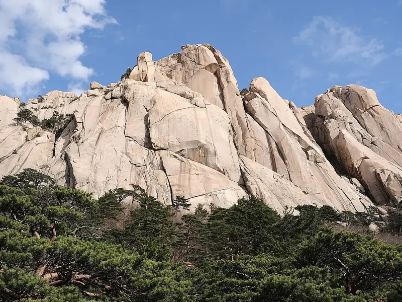 249km89summitSeoraksan
 South Korea137 peaks in view · Clear month
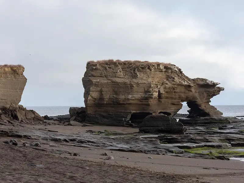 157km88volcanoSantiago IslandEcuador10 peaks in view · Clear month
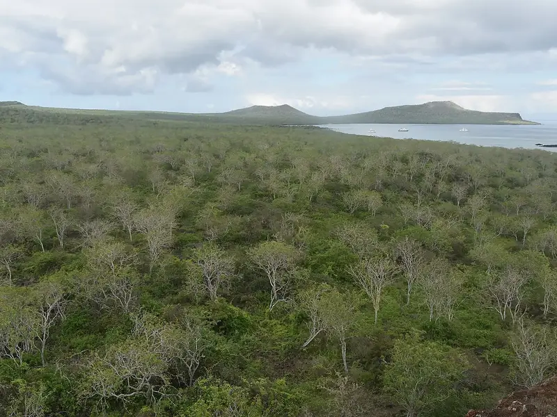 177km88volcanoFloreana IslandEcuador9 peaks in view · Clear month
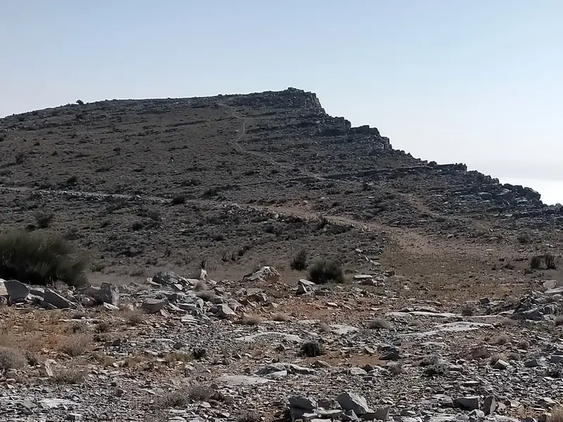 249km96summitJebel JaisOman16 peaks in view · Clear month
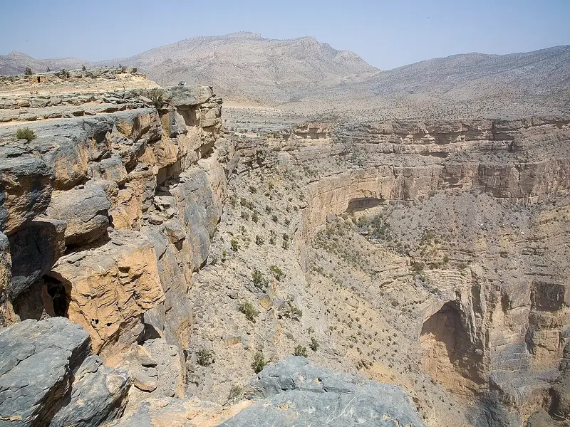 249km92summitJebel ShamsOman10 peaks in view · Clear month
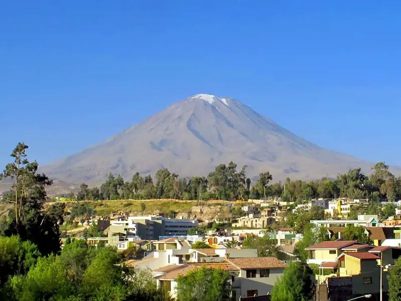 249km90volcanoMisti
 Peru166 peaks in view · Clear month
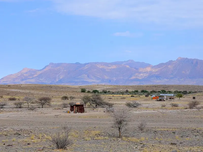 202km89summitBrandberg
 Namibia3 peaks in view · Clear month
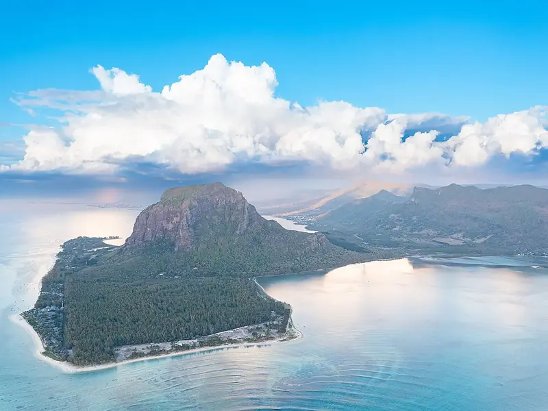 215km88summitLe Morne Brabant
 Mauritius10 peaks in view · Clear month
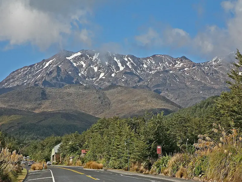 248km87volcanoMount Ruapehu
 New Zealand257 peaks in view · Clear month
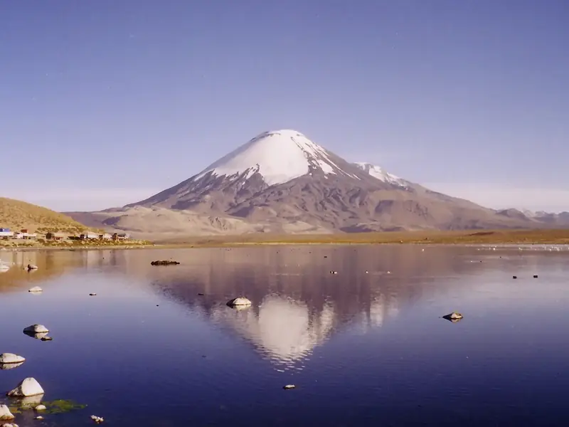 249km86volcanoParinacota
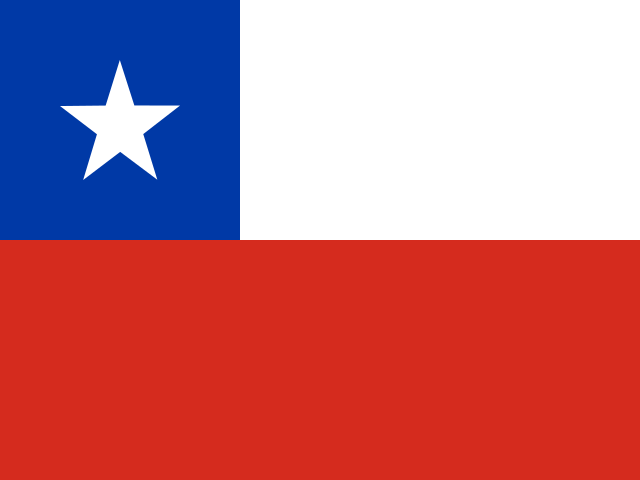 Chile135 peaks in view · Clear month
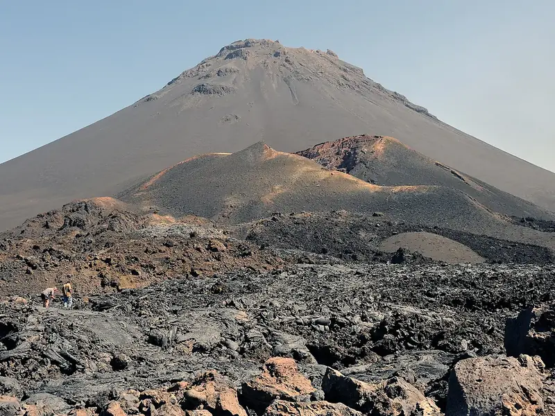 249km85volcanoPico do Fogo
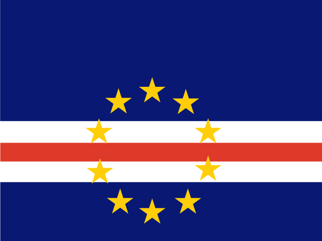 Cape Verde7 peaks in view · Clear month249km96summitJebel JaisOman16 peaks in view · Clear month
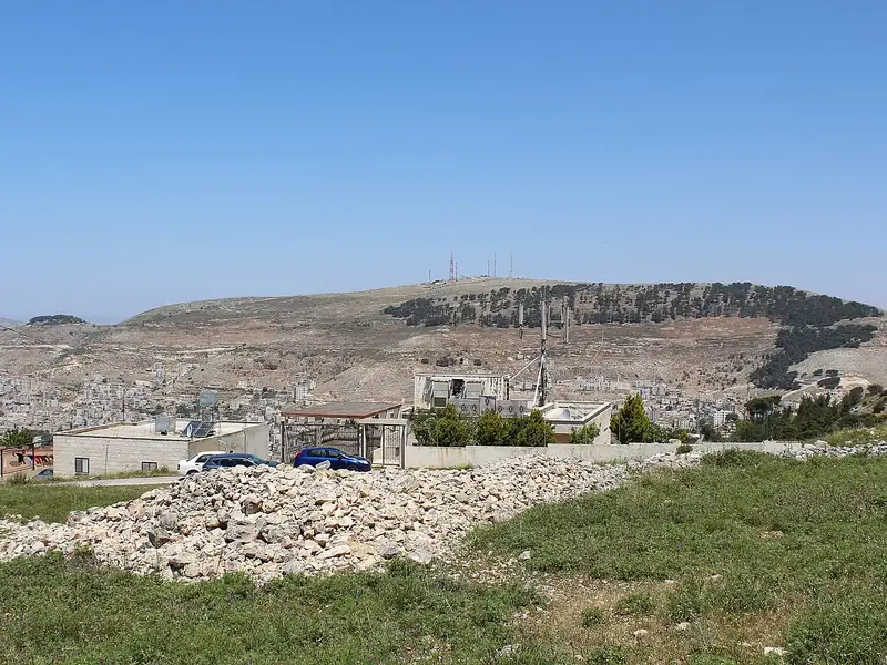 200km96summitMount Ebal
 Palestine92 peaks in view · Clear month
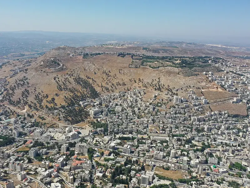 204km96summitMount GerizimPalestine55 peaks in view · Clear month
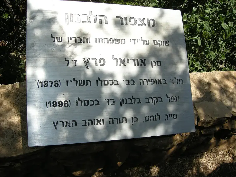 216km95summitMeron
 Israel81 peaks in view · Clear month
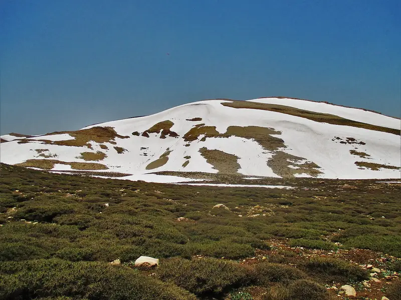 249km95summitQurnat as Sawda'Lebanon17 peaks in view · Clear month
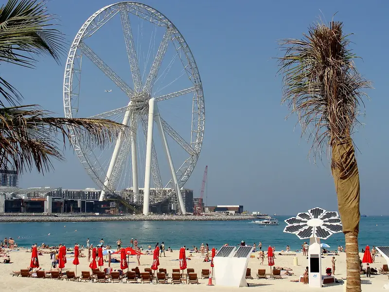 156km94Ferris wheelAin Dubai
 United Arab Emirates45 peaks in view · Clear month
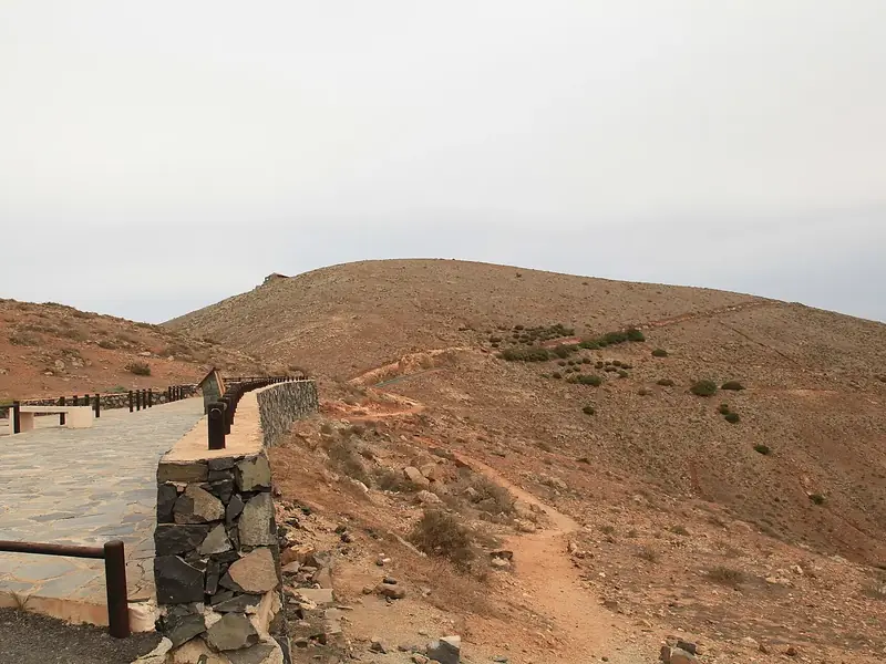 248km93scenic viewpointMorro VelosaSpain15 peaks in view · Clear month
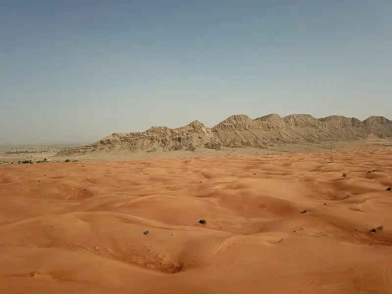 239km93summitJabal Al FayahUnited Arab Emirates34 peaks in view · Clear month200km96summitMount EbalPalestine92 peaks in view · Clear month204km96summitMount GerizimPalestine55 peaks in view · Clear month216km95summitMeronIsrael81 peaks in view · Clear month249km95summitQurnat as Sawda'Lebanon17 peaks in view · Clear month
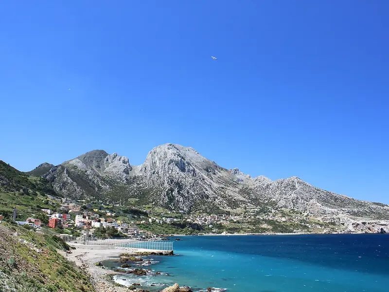 248km94summitJebel Moussa
 Morocco26 peaks in view · Clear month
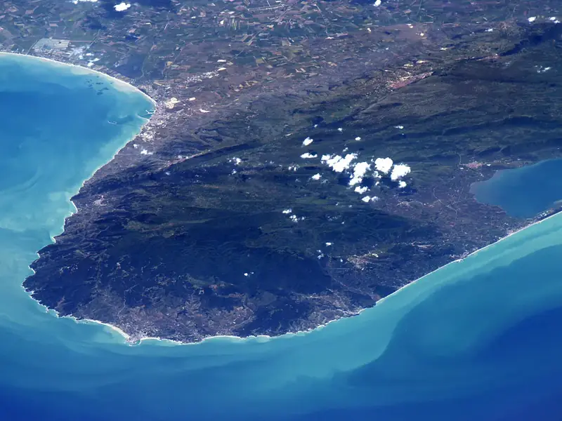 249km93summitGarganoItaly77 peaks in view · Clear month
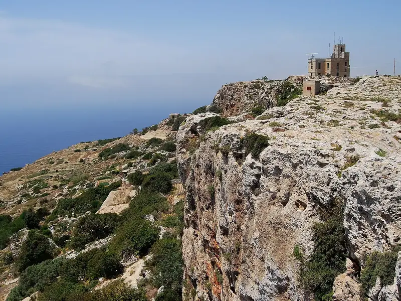 219km92summitTa' Dmejrek
 Malta12 peaks in view · Clear month
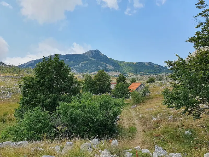 249km92summitLovćenMontenegro307 peaks in view · Clear month200km96summitMount EbalPalestine92 peaks in view · Clear month204km96summitMount GerizimPalestine55 peaks in view · Clear month216km95summitMeronIsrael81 peaks in view · Clear month249km95summitQurnat as Sawda'Lebanon17 peaks in view · Clear month248km94summitJebel MoussaMorocco26 peaks in view · Clear month248km93scenic viewpointMorro VelosaSpain15 peaks in view · Clear month249km93summitGarganoItaly77 peaks in view · Clear month219km92summitTa' DmejrekMalta12 peaks in view · Clear month249km96summitJebel JaisOman16 peaks in view · Clear month200km96summitMount EbalPalestine92 peaks in view · Clear month204km96summitMount GerizimPalestine55 peaks in view · Clear month216km95summitMeronIsrael81 peaks in view · Clear month249km95summitQurnat as Sawda'Lebanon17 peaks in view · Clear month156km94Ferris wheelAin DubaiUnited Arab Emirates45 peaks in view · Clear month248km93scenic viewpointMorro VelosaSpain15 peaks in view · Clear month239km93summitJabal Al FayahUnited Arab Emirates34 peaks in view · Clear month249km96summitJebel JaisOman16 peaks in view · Clear month156km94Ferris wheelAin DubaiUnited Arab Emirates45 peaks in view · Clear month248km93scenic viewpointMorro VelosaSpain15 peaks in view · Clear month239km93summitJabal Al FayahUnited Arab Emirates34 peaks in view · Clear month249km92summitJebel ShamsOman10 peaks in view · Clear month
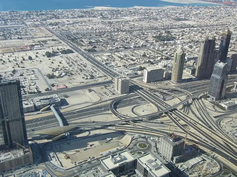 135km92scenic viewpointAt the Top Burj KhalifaUnited Arab Emirates47 peaks in view · Clear month
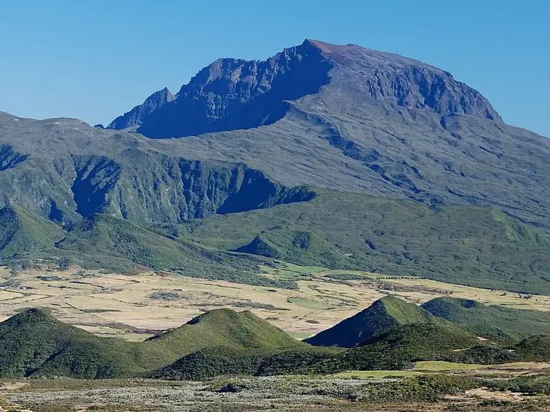 248km91scenic viewpointPiton des Neiges
 France19 peaks in view · Clear month
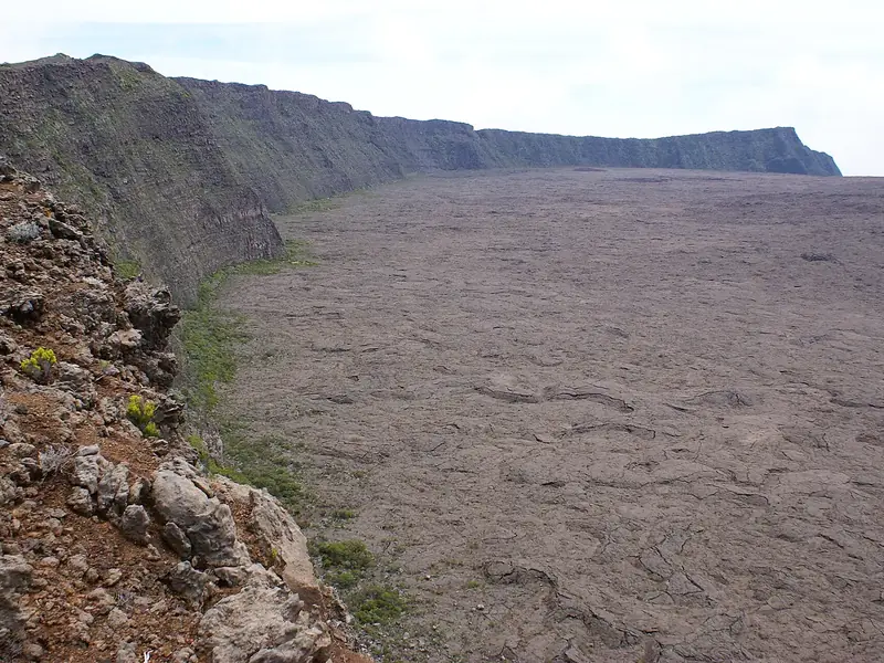 229km90cliffRempart de BellecombeFrance19 peaks in view · Clear month249km92summitJebel ShamsOman10 peaks in view · Clear month248km91scenic viewpointPiton des NeigesFrance19 peaks in view · Clear month
 249km91summitMousa Ali
 Eritrea19 peaks in view · Clear month
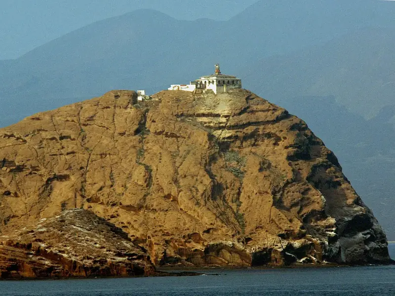 238km90volcanoHanish Islands
 Yemen8 peaks in view · Clear month229km90cliffRempart de BellecombeFrance19 peaks in view · Clear month
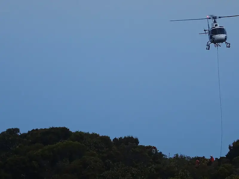 248km90scenic viewpointMaïdoFrance21 peaks in view · Clear month
 232km89summitEmba SoiraEritrea9 peaks in view · Clear month
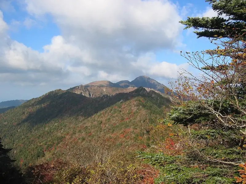 249km89summitJirisanSouth Korea121 peaks in view · Clear month239km94summitSan MiguelEl Salvador22 peaks in view · Clear month249km92summitAconcaguaArgentina17 peaks in view · Clear month190km92volcanoSanta Ana VolcanoEl Salvador18 peaks in view · Clear month239km92summitNevis PeakSaint Kitts and Nevis53 peaks in view · Clear month249km92volcanoVolcán de FuegoGuatemala14 peaks in view · Clear month209km92volcanoPacayaGuatemala13 peaks in view · Clear month196km92summitPitonsSaint Lucia15 peaks in view · Clear month
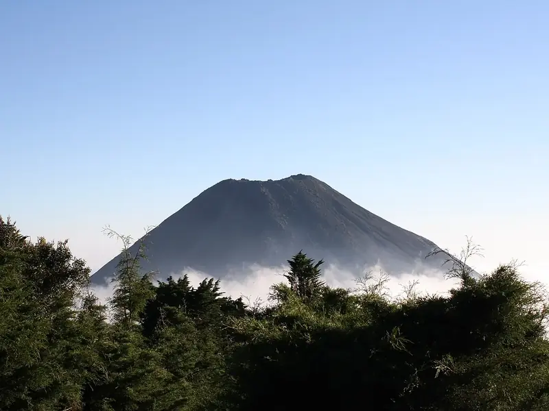 220km92volcanoIzalcoEl Salvador16 peaks in view · Clear month
All the clearest views for JanuaryAll the clearest views for FebruaryAll the clearest views for MarchAll the clearest views for AprilAll the clearest views for MayAll the clearest views for JuneAll the clearest views for JulyAll the clearest views for AugustAll the clearest views for SeptemberAll the clearest views for OctoberAll the clearest views for NovemberAll the clearest views for December
Best rated
Views worth the climb.
249km96summitJebel JaisOman16 peaks in view · May–Jun, Sep–Oct200km96summitMount EbalPalestine92 peaks in view · Jun–Sep204km96summitMount GerizimPalestine55 peaks in view · Jun–Sep216km95summitMeronIsrael81 peaks in view · Jun–Sep249km95summitQurnat as Sawda'Lebanon17 peaks in view · Jun–Sep156km94Ferris wheelAin DubaiUnited Arab Emirates45 peaks in view · Jun, Sep–Oct248km94summitJebel MoussaMorocco26 peaks in view · Jul–Aug







Where the numbers come from
Calculated, not guessed.
Every panorama on Viewyas is calculated from a public relief model, one degree at a time, with the curvature of the Earth and the bending of light in the air. The peaks come from our own mountain atlas, the clouds from NASA.
- Copernicus DEMthe relief: the 360° panorama, how far you see, the sea
- Wikidatanames, types, photos
- Peakyasthe named peaks you can see
- NASA POWERcloud amount, month by month
- OpenStreetMaptrails, cable cars, parking, places to stay
The family
Do you prefer beaches, lakes, mountains, waterfalls, islands, rivers, canyons, caves, dark skies, viewpoints, birdwatching or forests?
Same idea, other landscapes: field atlases built on open data, in seven languages.
 beaches
 Find your beach: sea temperature, sun and swimming month by month.Visit
 lakes
 Every lake on Earth: water temperature, ice, depth and the shore.Visit
 mountains
 Every summit in 3D: summit weather, the 0 °C line, huts and trails.Visit
 waterfalls
 Every waterfall: height, flow month by month and when it roars.Visit
 islands
 Every island from the sea up: size, sea temperature, ferries and 3D.Visit
 rivers
 Every river from source to sea: the journey, the flow and the basin in numbers.Visit
 canyons
 Every canyon cut to scale: depth to the floor, rim and floor temperatures, trails and viewpoints.Visit
 caves
 Every cave with its real depth and length: the rock above, the temperature inside all year, and how to visit.Visit
 dark skies
 Where the night is still dark: the sky of every place, the Milky Way month by month, the Moon, eclipses and auroras.Visit
 viewpoints
 Every viewpoint with its real 360° panorama: the peaks you can name, how far you see and where the sun sets.You are here
 birdwatching
 Every bird sanctuary and wetland with the species recorded month by month: who is resident, who comes for the summer, who only passes through.Visit
 forests
 Every forest with its land-cover rings, what grows and lives in it, and the best months to walk it.Visit