 Lithuania scenic viewpoint
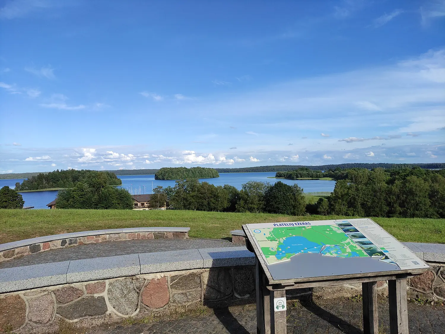
Plateliai Lake Lookout
You can see 9 km from here, looking south.
Calculating the panorama…
Drag to turn around. The relief is drawn 2.2 times taller so the ridges can be read; far ridges are paler, as in the real air.
The view
Up to 9 km away.
Calculated on the relief one degree at a time, up to 250 km, with the curvature of the Earth and the refraction of the air: what stands above the horizon from here.
Our own rating, from the relief and the climate only: open horizon (35 points), how far you see (25), sea and named peaks in view (20) and clear months (20).
- 9 kmFarthest ridgelooking south
- 99%Open horizonof the circle where the horizon is below your eyes
- 165 mAltitudeabove the sea, at the highest point of the viewpoint
From the relief only: buildings, trees and haze are not in the model. On a hazy day you see much less; 250 km is the limit of our calculation.
The sun
The best sunsets are from May to June.
When the sun really disappears from this viewpoint — behind the relief or into the sea — and in which direction, on the 15th of each month, in local time.
- Jansouth-west10 min before the sea-level sunset11%
- Febsouth-west10 min before the sea-level sunset14%
- Marwest8 min before the sea-level sunset24%
- Aprwest10 min before the sea-level sunset38%
- Maynorth-west18 min before the sea-level sunset43%
- Junnorth-west20 min before the sea-level sunset40%
- Julnorth-west18 min before the sea-level sunset37%
- Augnorth-west12 min before the sea-level sunset36%
- Sepwest10 min before the sea-level sunset34%
- Octwest10 min before the sea-level sunset26%
- Novsouth-west12 min before the sea-level sunset15%
- Decsouth-west12 min before the sea-level sunset12%
- Time: when the sun goes behind the horizon you see from here.
- Minutes: how much earlier the relief hides the sun.
- %: share of clear sky that month (NASA, 2001–2020).
The highlighted months are the clearest. Golden hour starts about an hour before.
The place
Plateliai Lake Lookout.
Scenic viewpoint in Žemaitija National Park, Lithuania
Plateliai Lake Lookout is a scenic viewpoint in Lithuania, 165 m above the sea.
On a clear day the farthest ridge you can see is 9 km away, looking south.
The horizon is open, below your eyes, over 99% of the circle.
The skies are clearest from May to June.
Get there and stay
- Stovyklavietėcampsite · 2.2 km · 12 within 10 km
- Platelių Žalgirio jachtklubasplace to stay · 0.2 km · 31 within 10 km
- Plateliainearest town · 0.8 km in a straight linePlaces to stay in PlateliaiBooking.com · sponsored link↗
- Palanga International Airport (PLQ)nearest airport with scheduled flights · 46 km in a straight lineCar hire at PLQ airport (Palanga)Discover Cars · sponsored link↗
Plan the visit
A guided tour, a bed nearby, a car.
Some links above are affiliate links: if you book through them we may earn a commission, at no extra cost to you. It never changes what the data on this page says.
From above
The viewpoint and its surroundings.
The satellite image of the 6 × 6 km around the viewpoint, with what OpenStreetMap shows nearby.
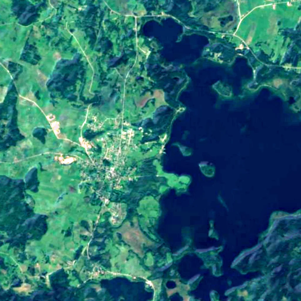
Around, in OpenStreetMap
- 8other viewpoints within 5 kmPaplatelės tako apžvalgos bokštas, Platelių ežero apžvalgos aikštelė, Siberijos (Cidabro kalno) apžvalgos bokštas and 5 more
- 4named peaks within 5 kmCidabro kalnas, Ubagų kalnas, Skarbo kalnas and 1 more
- 5marked trails within 3 kmŠeirės gamtos takas, E11 section 84: Plateliai – Salantai, E11 section 83: Paplatelė – Plateliai and 2 more
- 19shelters and huts within 5 km
- 18car parks within 3 km
- 1visitor centres within 5 kmPlatelių lankytojų informacijos centras
- 8restaurants and cafés within 3 km
- 12campsites within 10 kmStovyklavietė, Beržynėlis, Šiaurinė stovyklavietė and 9 more
- 31places to stay within 10 kmPlatelių Žalgirio jachtklubas, Vila Runa, Jono Rimvydo Šečkaus sodyba and 28 more
- cable car and funicular stations within 5 km
Counted in OpenStreetMap, the map anyone can edit. A low number may just mean nobody has mapped it yet.
In our other atlases
What you see from Plateliai Lake Lookout, and what is near.
Everything around this viewpoint — mountains, water, forests, birds, caves and the night sky — in the family's atlases.
 Peakyas1 mountains within 25 km
 Lakeyas5 lakes within 15 km
 Forestyas3 forests and trees within 15 km
Figures from the sister sites' databases (Wikidata, HydroATLAS, GeoNames, OpenStreetMap, GBIF). Links open when each site is online.
Photographs
The view, as people saw it.
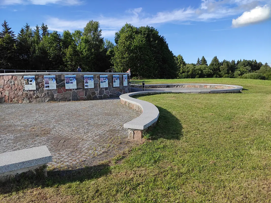
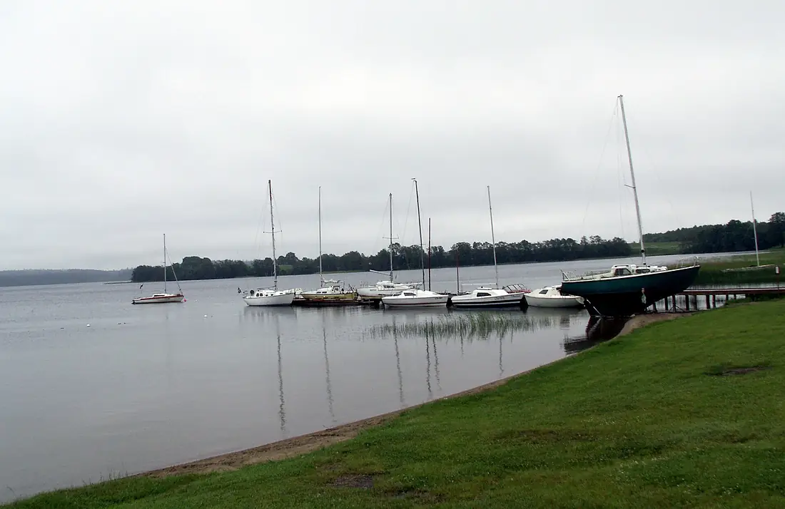

Other viewpoints nearby.
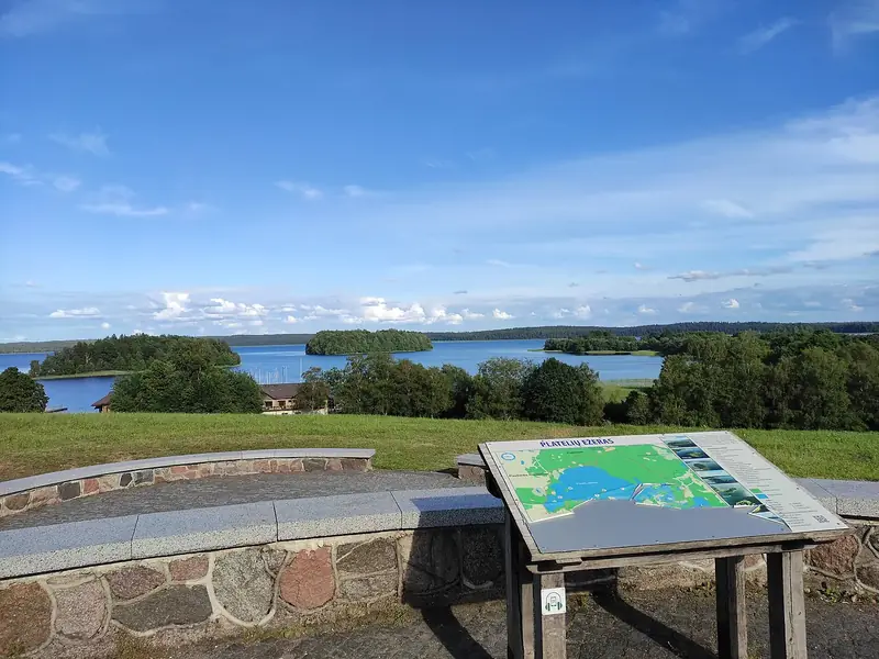
Plateliai Lake Lookout
Lithuania
- 44Viewyas Score
- 9 kmFarthest ridge
- —Peaks in view
- 165 mAltitude
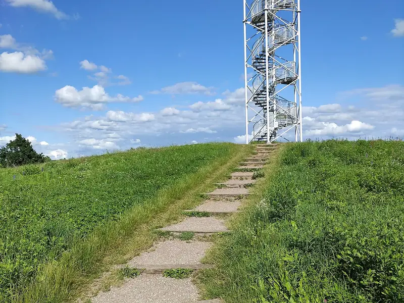
Siberijos Watchtower
Lithuania · 2 km
- 53Viewyas Score
- 57 kmFarthest ridge
- 1Peaks in view
- 158 mAltitude
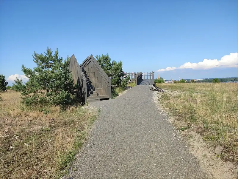
Bear's Head viewing platform
Lithuania · 63 km
- 61Viewyas Score
- 37 kmFarthest ridge
- 3Peaks in view
- 30 mAltitude
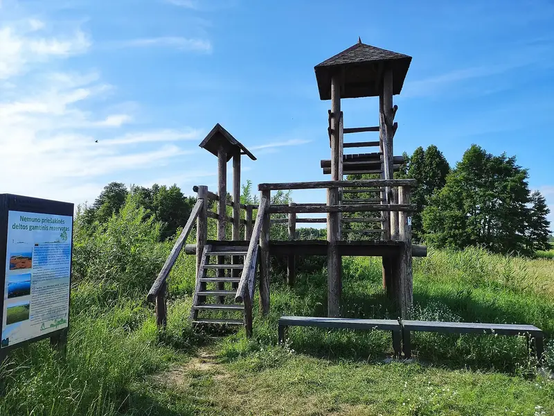
Rusnės regykla
Lithuania · 89 km
- 56Viewyas Score
- 30 kmFarthest ridge
- 6Peaks in view
- 2 mAltitude
Where these figures come from
| Name and type | Wikidata (Q113193233) · CC0 |
|---|---|
| Sun | J. Meeus, Astronomical Algorithms |
| Peaks in view | Peakyas (Wikidata, CC0) |
| Panorama and altitude | Copernicus DEM GLO-90 / GLO-30 · © DLR e.V., © Airbus Defence and Space GmbH, Copernicus/ESA |
| Clouds | NASA POWER (CERES SYN1deg, 2001–2020; MERRA-2) |
| What is around | © OpenStreetMap contributors · ODbL |
| Images | EOX Sentinel-2 cloudless 2016 · CC BY 4.0; Wikimedia Commons |
| Sister atlases | Peakyas, Lakeyas, Forestyas, Darkskyas |
Every figure is an average, an estimate or a count from a public dataset. Licences and methods: data sources.
The family
Do you prefer beaches, lakes, mountains, waterfalls, islands, rivers, canyons, caves, dark skies, viewpoints, birdwatching or forests?
Same idea, other landscapes: field atlases built on open data, in seven languages.
 beaches
 Find your beach: sea temperature, sun and swimming month by month.Visit lakes
 Every lake on Earth: water temperature, ice, depth and the shore.Visit mountains
 Every summit in 3D: summit weather, the 0 °C line, huts and trails.Visit
 waterfalls
 Every waterfall: height, flow month by month and when it roars.Visit
 islands
 Every island from the sea up: size, sea temperature, ferries and 3D.Visit
 rivers
 Every river from source to sea: the journey, the flow and the basin in numbers.Visit
 canyons
 Every canyon cut to scale: depth to the floor, rim and floor temperatures, trails and viewpoints.Visit
 caves
 Every cave with its real depth and length: the rock above, the temperature inside all year, and how to visit.Visit
 dark skies
 Where the night is still dark: the sky of every place, the Milky Way month by month, the Moon, eclipses and auroras.Visit
 viewpoints
 Every viewpoint with its real 360° panorama: the peaks you can name, how far you see and where the sun sets.You are here
 birdwatching
 Every bird sanctuary and wetland with the species recorded month by month: who is resident, who comes for the summer, who only passes through.Visit forests
 Every forest with its land-cover rings, what grows and lives in it, and the best months to walk it.Visit